Sacramento Audubon field trips resume in January 2022. If you, however, prefer to head out on your own, our field trip leaders have some great suggestions for where to bird each season. For even more great ideas of where to go birding locally, check out our Birding Locations guide.
Veteran birder and field trip leader, Richard Barbieri, has the following recommendations for January birding trips. To see each month’s recommendations visit our DIY Field Trips page.
Lincoln Grasslands
The grasslands and flooded farmlands in this area west of Lincoln provide some of the best winter birding in the northern Sacramento Valley. There are a multitude of country roads to explore to the west of Hwy 65, north of Sunset Blvd., east of Pleasant Grove Road, and south of Riosa Road near the small town of Sheridan. Wintering flocks of waterfowl, shorebirds, and birds of prey thrive here at this time of the year.
White-faced Ibis, Image by Daniel Brown
Sacramento Bar
Another popular area on the American River Parkway, this spot offers a variety of habitat, riparian riverbanks, open grassland within its interior along with a few ponds, and sometimes lowland flooded areas in winter. Explore the many trails within this area or follow the main trail around its exterior.
Directions: From Highway 50, drive north on Sunrise Blvd.; turn left on Fair Oaks Blvd. and take the first left on Pennsylvania and follow it into the park. A Sac County Park Pass or $5 entry fee is required for all vehicles.
Ruby-crowned Kinglet, Image by Larry Hickey
Bridgeway Island Pond, West Sacramento
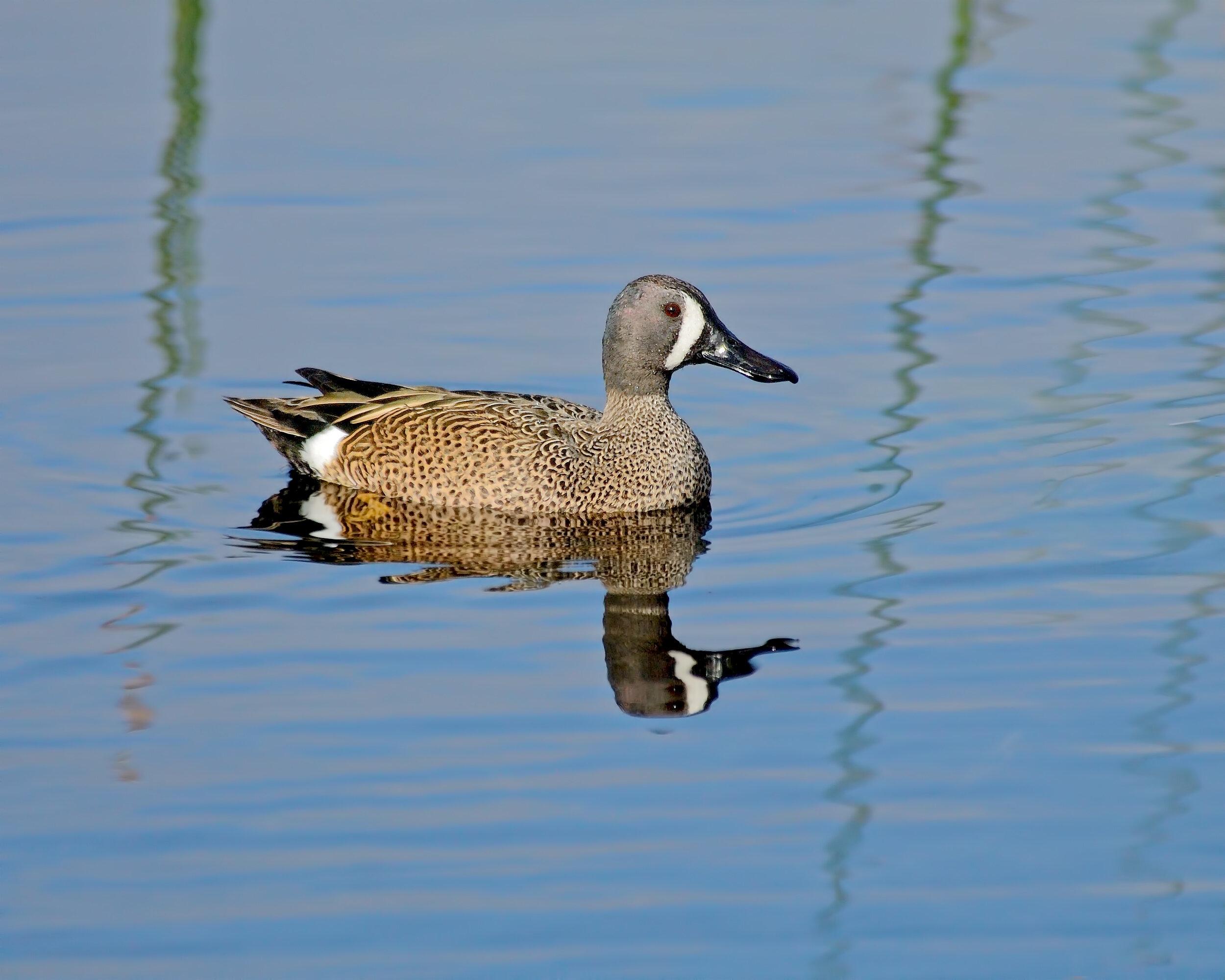
This is probably the most reliable and easiest place to see Blue-winged Teal in the Sacramento area. You can get exact directions from this ebird list. It's a good place to include with a trip to the Yolo Bypass area. Read more about the Yolo Bypass area in the November 2020 suggestions.
Blue-winged Teal, Image by Daniel Brown
Bobelaine
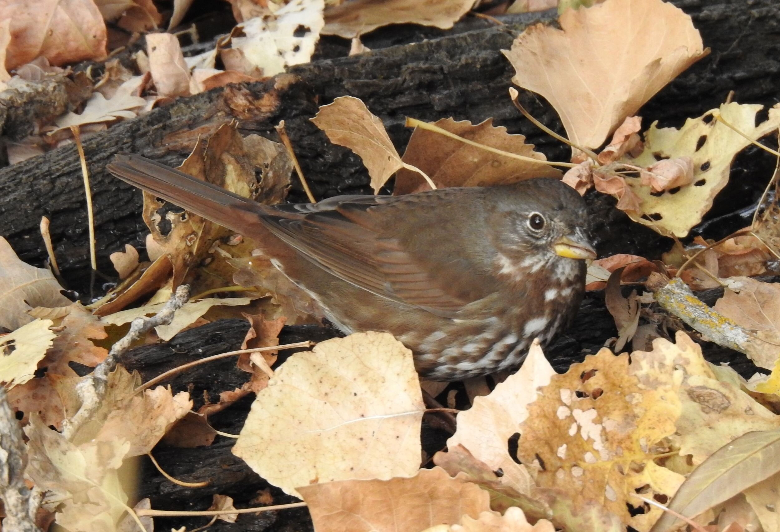
This 430-acre National Audubon Sanctuary on the Feather River is managed by Sacramento Audubon. At this time of year you can find resident and wintering birds such as Hermit Thrush, Fox Sparrow, crowned sparrows, both towhees, and various raptors. If there has been rain, the trails may be wet and muddy. You can print a trail map for Bobelaine, or maps are usually available at the entrance to the Sanctuary.
Directions: From Sacramento take Hwy.99 north toward Yuba City and about 2 miles north of the Feather River Bridge turn right on Laurel Avenue. Follow Laurel to the dead end at the Bobelaine parking lot.
Fox Sparrow, Image by Mary Forrestal


