
Originally published in April 2022
Almost anywhere along the American River Parkway is good birding in this season. Here are some suggested birding spots from veteran birder, Cathie LaZier.
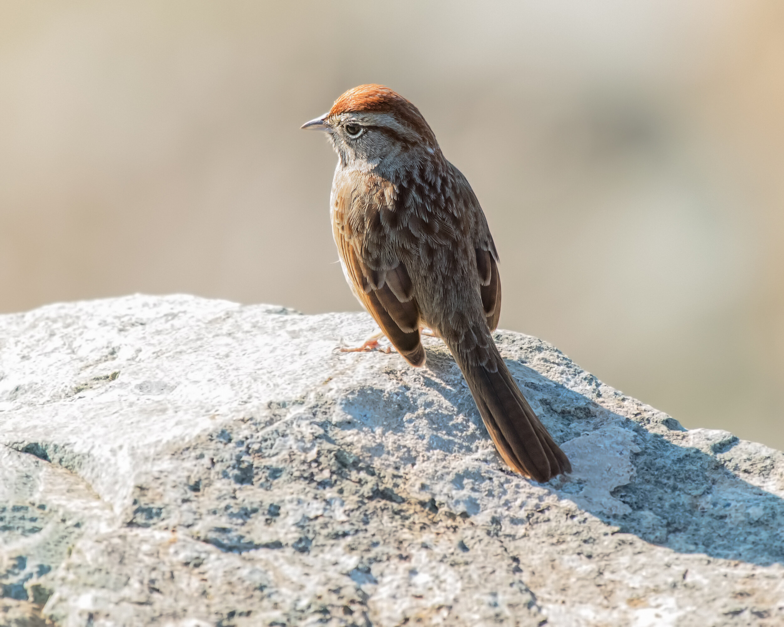
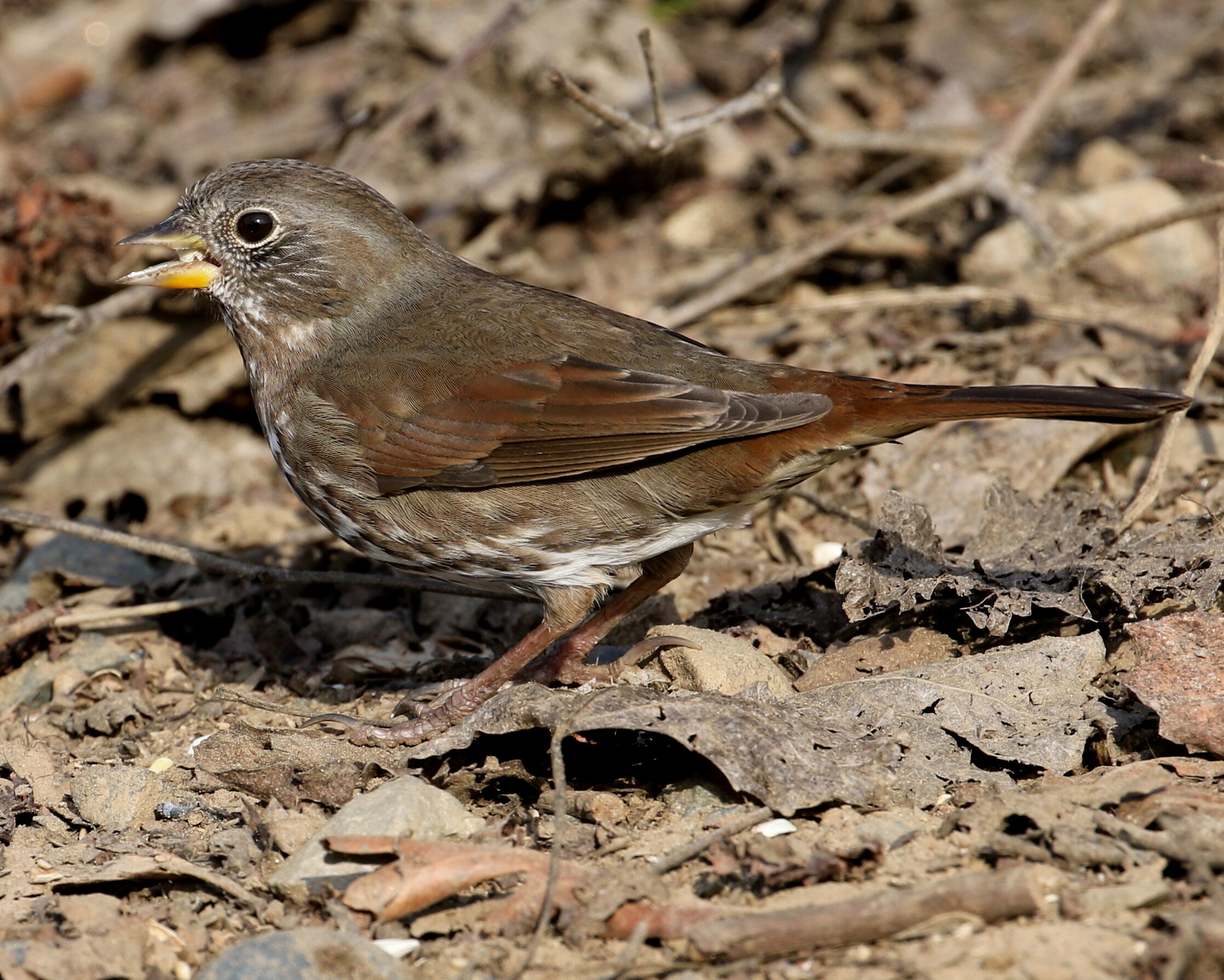
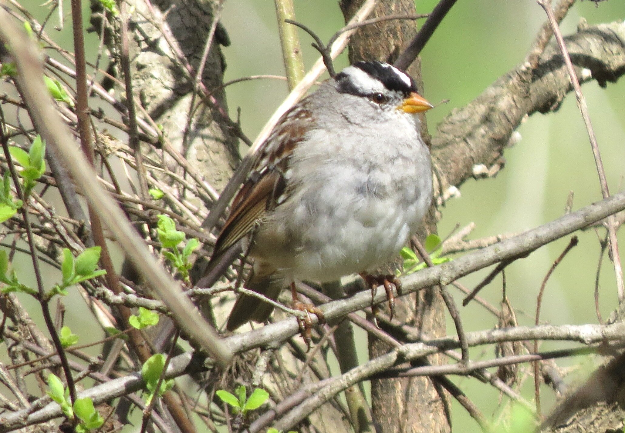
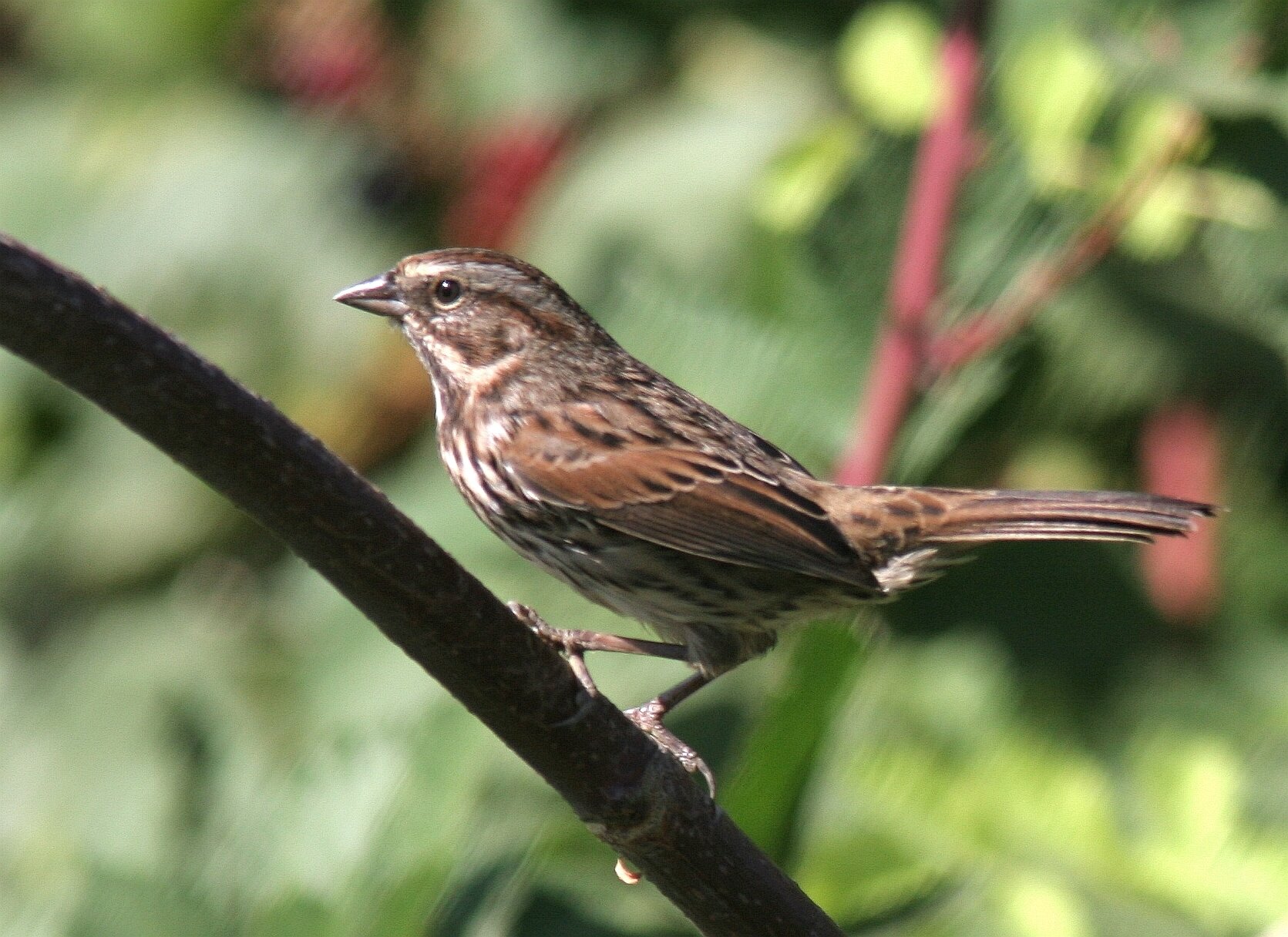
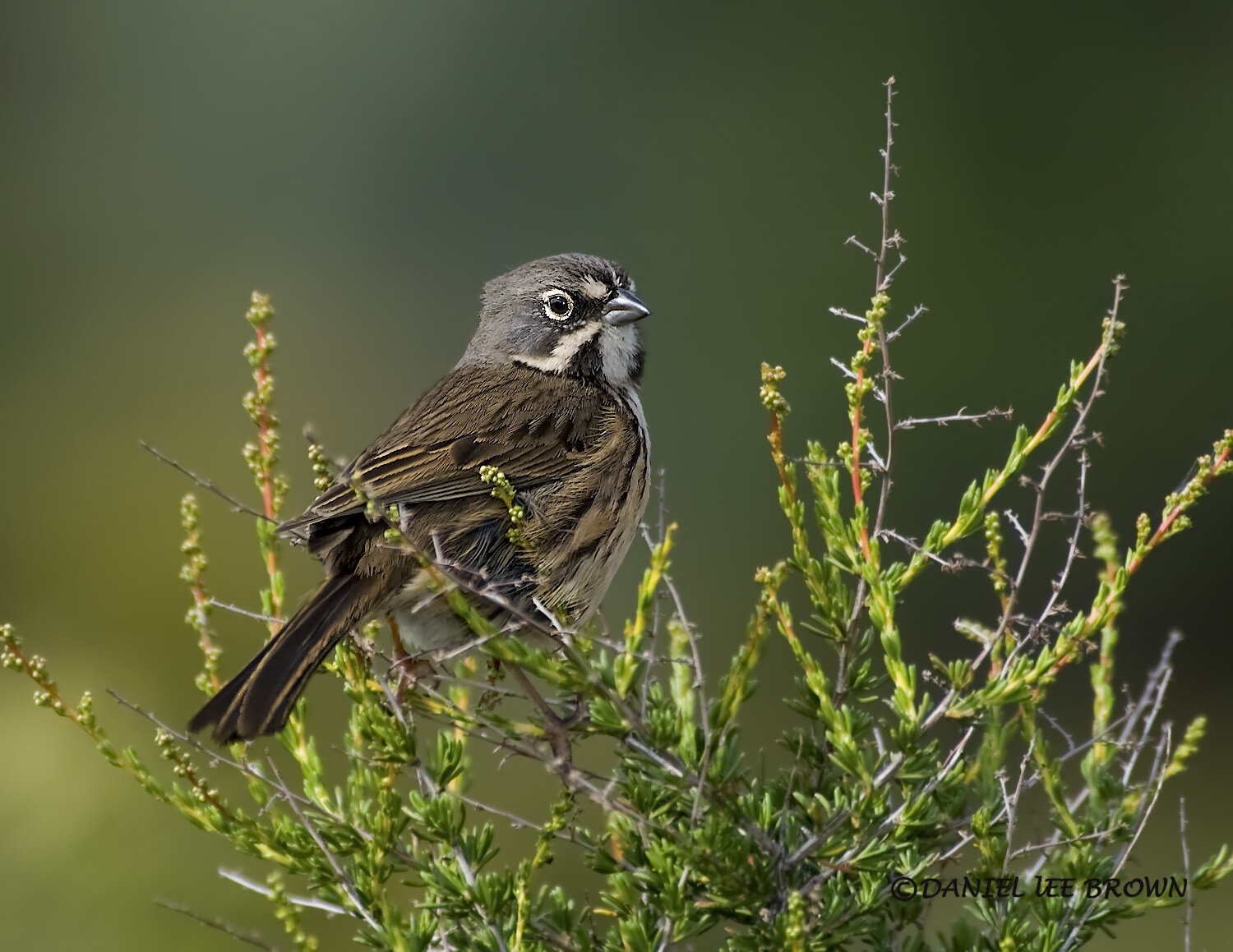
Rufous-crowned Sparrow, Image by Daniel Lee Brown
Sailor Bar
American River Parkway
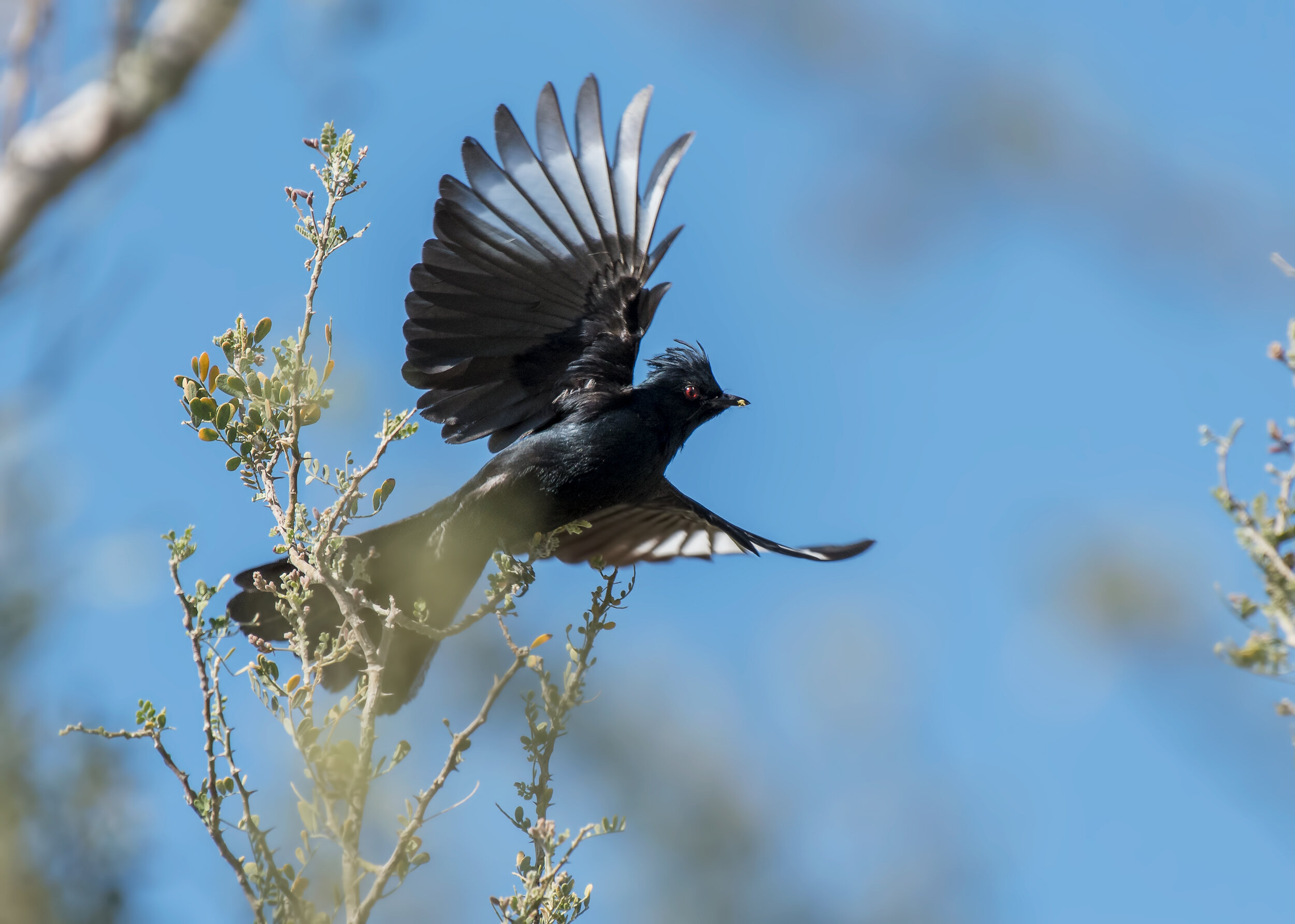
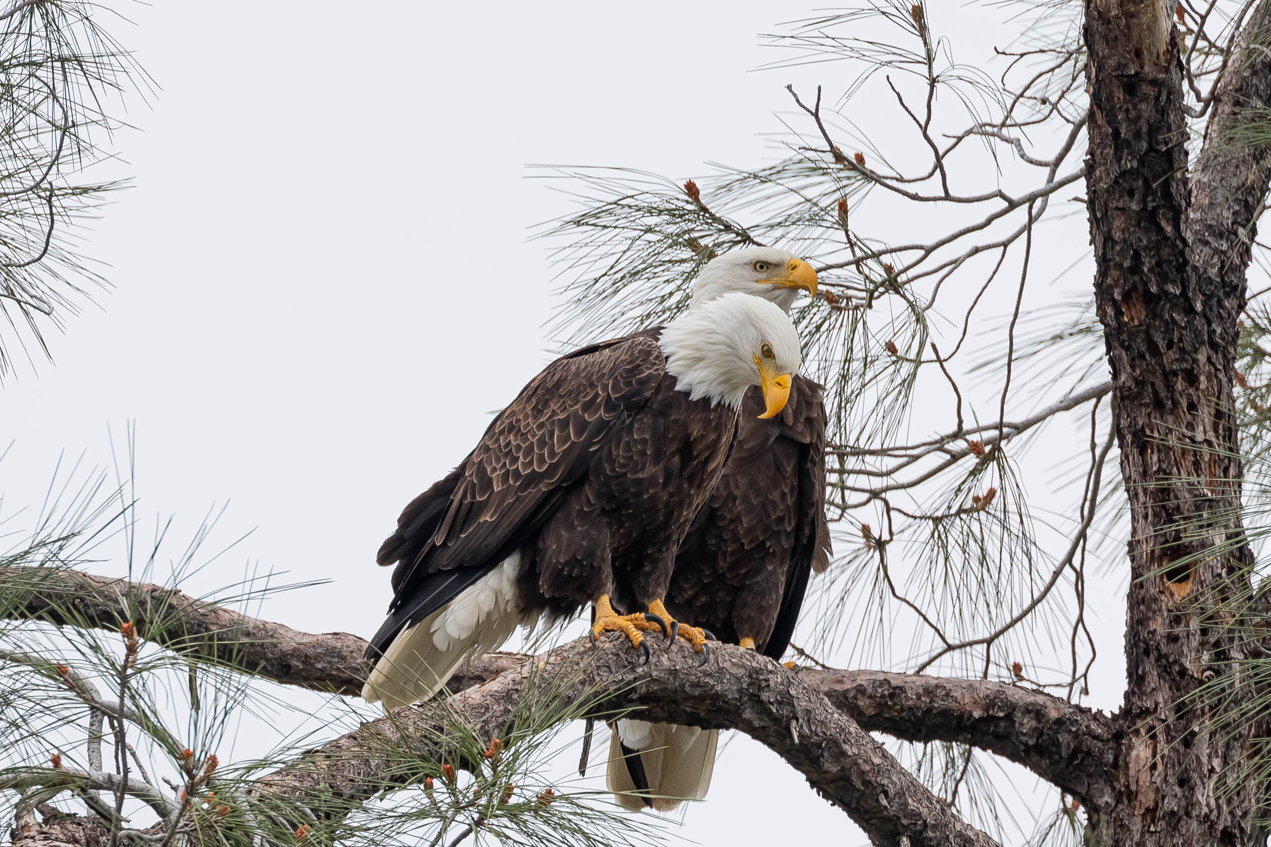
Check the riverside trees for Bullock's Orioles. Upstream is a good area to find the elusive Rufous-crowned Sparrow, and you have a view across the river of the Nimbus Fish Hatchery. Downstream you may find Great Blue Herons nesting, and Phainopepla and California Quail are often found here.
Directions
Address: 4253 Illinois Ave, Fair Oaks CA 96628
From downtown Sacramento: take Highway 50 east for 17.5 miles from Interstate 5, and exit at Hazel Avenue. Drive north over the freeway and cross the American River. Turn left onto Winding Way (1.3 miles from Highway 50), and go for 0.5 mile; then turn left onto Illinois Avenue.
Parking and Fees: A Sac County Park Pass or $7 entry fee is required for all vehicles. Recommend parking in the last parking lot on your left, just before the boat launch parking area.
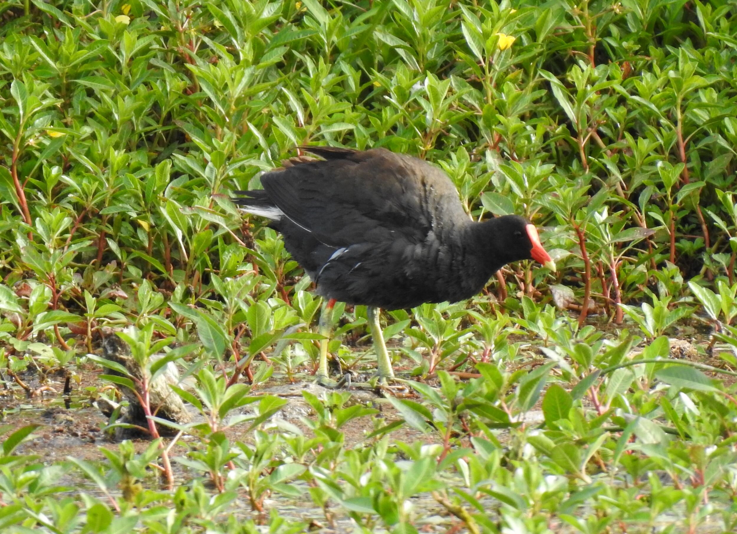
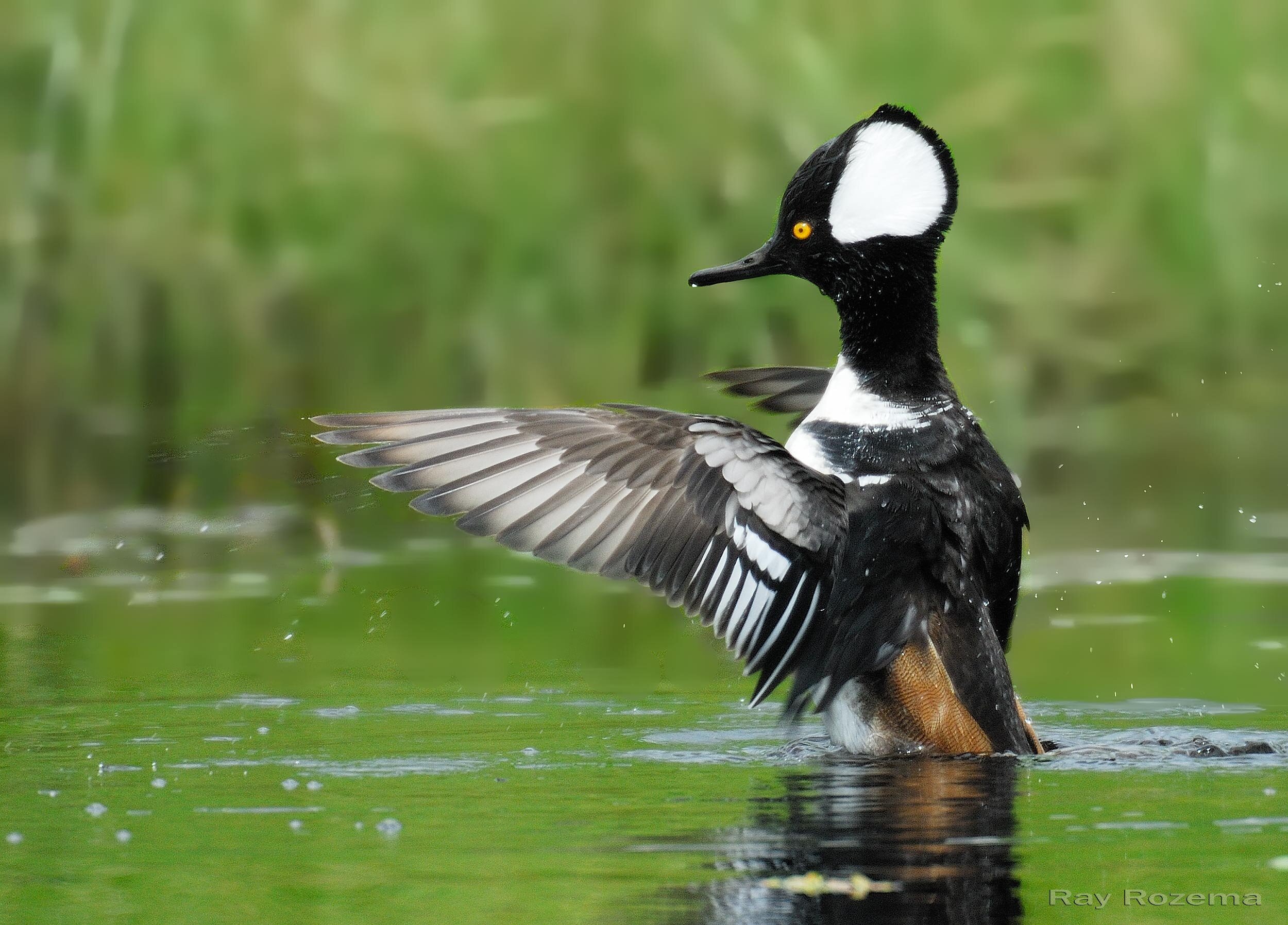
Common Gallinule, Image by Mary Forrestal
Silva Valley Parkway (aka Bucks Creek Trail/Serrano Parkway), El Dorado Hills
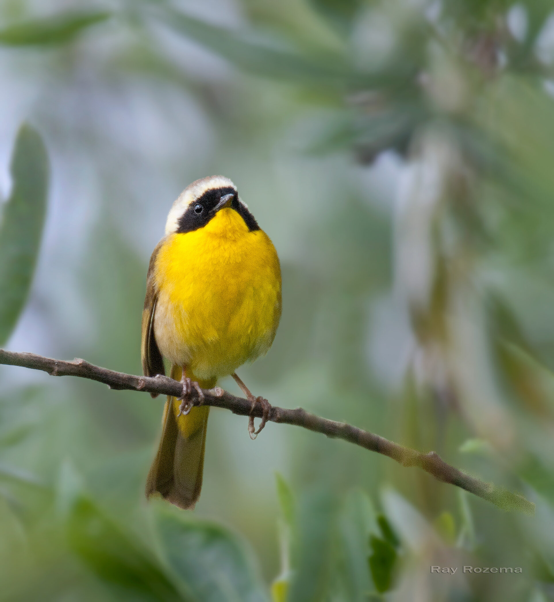
An easy walk along this riparian habitat will turn up resident and migrating species such as woodpeckers, wrens, bluebirds and warblers. Common Gallinules are usually easy to view here and in this varied habitat, there is always the possibility of unusual finds.
Directions
Access is at the southeast corner of the intersection of Silva Valley Parkway and Serrano Parkway. To reach this spot, exit Hwy 50 at Exit 31, Silva Valley Parkway, and turn left. Follow the Parkway about a mile to the first stop light, make a U-turn and immediately park along the Parkway.
Latitude / Longitude 38°40'10.1"N 121°03'48.4"W
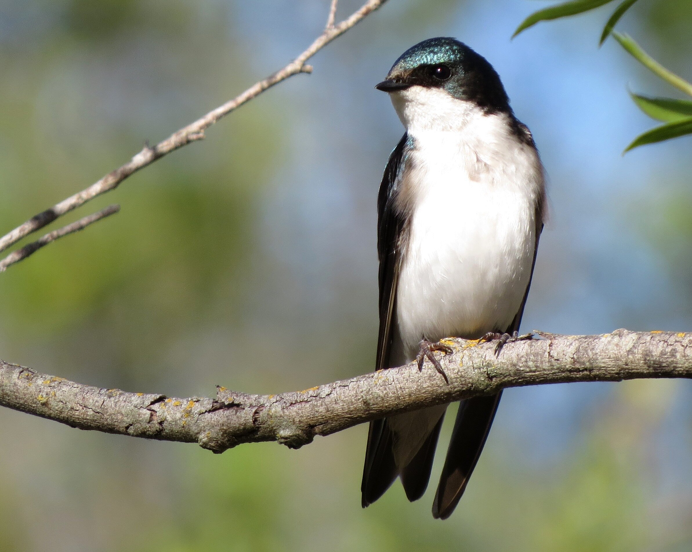
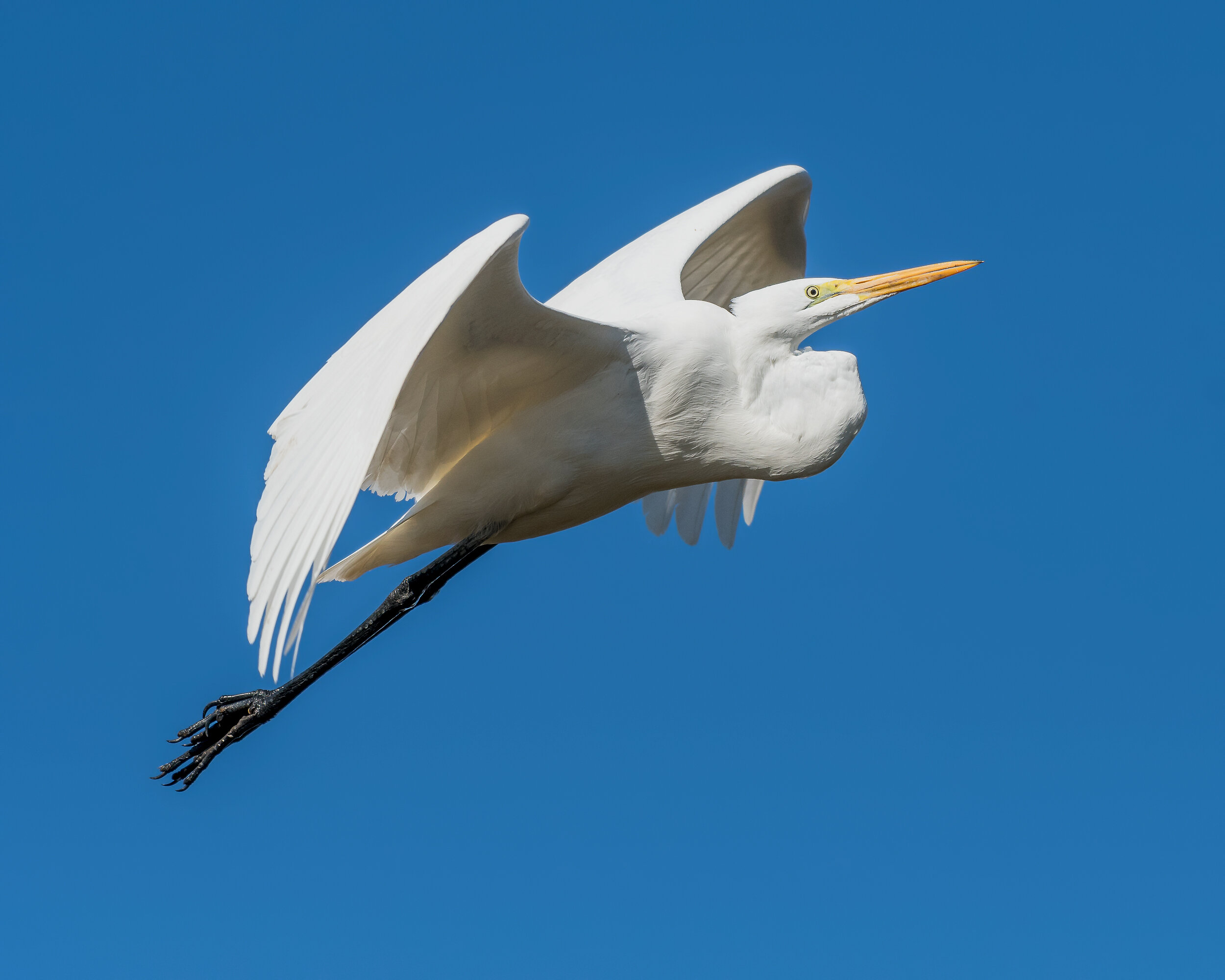
Tree Swallow, Image by Chris Conard
Gibson Ranch, Elverta
This county park, a former ranch, has varied habitats. Drive to the very last parking lot and you can access the wooded trail along Dry Creek. Walking either way you should find a variety of birds. Elsewhere in the park there is also a small lake and several picnic areas with mown grassy areas and shady trees. This would be a good trip for families; you may want to take a lunch!
Directions
Address: 8556 Gibson Ranch Road, Elverta CA 95626
Parking & Fees: A Sac County Park Pass or $7 entry fee is required for all vehicles.
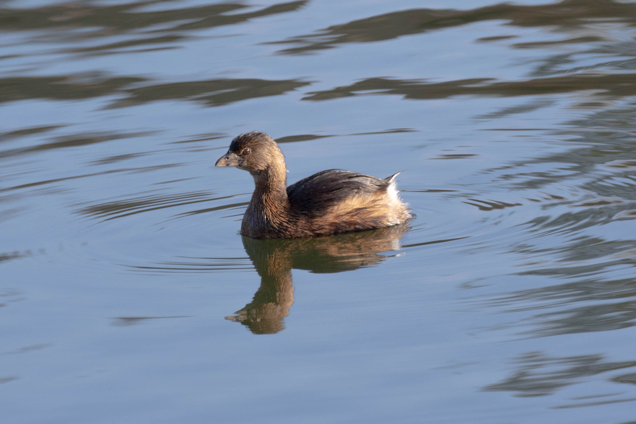
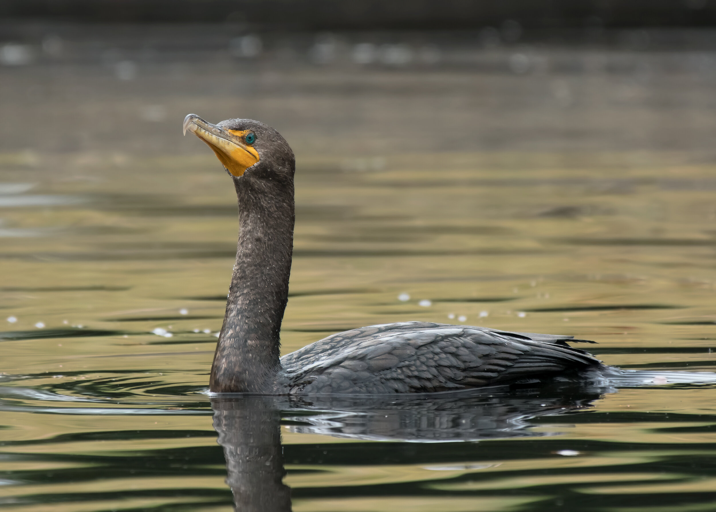
Pied-billed Grebe, Image by Larry Hickey
William B. Pond Recreation Area
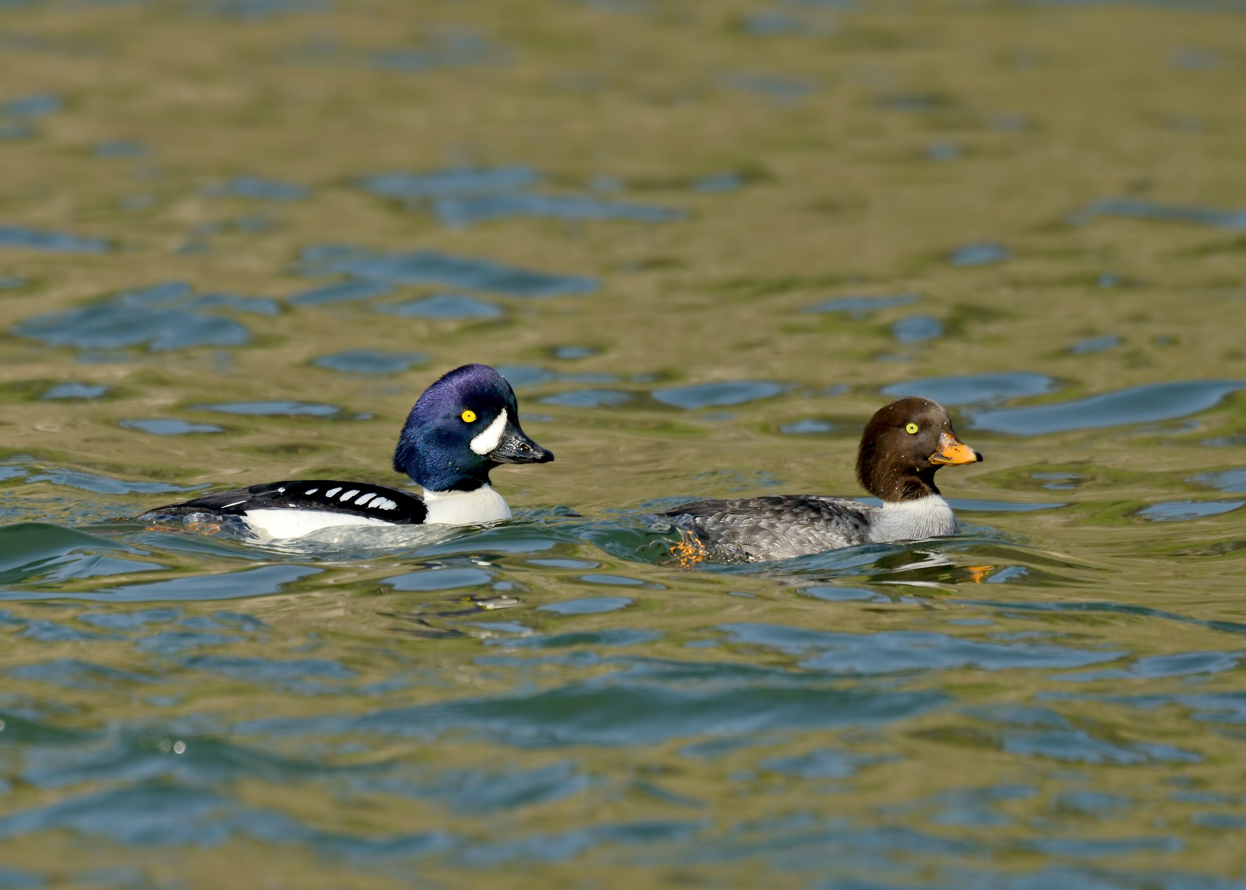
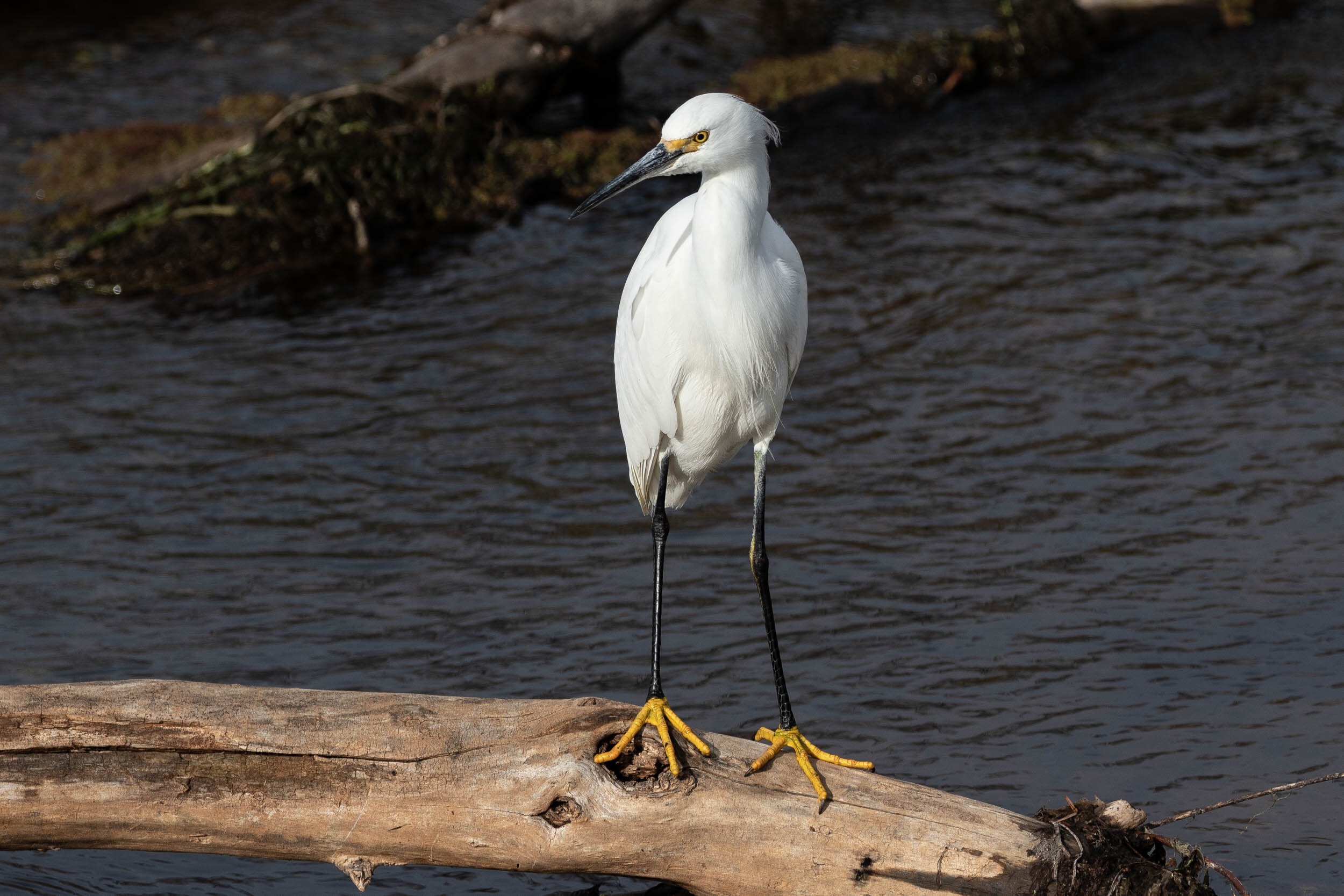
This park along the American River has numerous paths through a variety of habitats. It is an excellent location to visit in any season. In April, look for Merganser and remaining Goldeneye on the river. Watch the trees and shrubs for resident wrens and towhees, as well as returning flycatchers, swallows, vireos, and warblers. Check out the pond area for Pied-billed Grebes, herons and blackbirds. In the park area you may find Western Bluebird and Yellow-billed Magpie.
Directions:
Address: 5700 Arden Way, Carmichael, CA 95608
From downtown Sacramento: take Highway 50 east for 7.0 miles from Interstate 5, and take the Watt Avenue exit north. Proceed 1.6 miles north to Fair Oaks Boulevard and head east for 2.5 miles to Arden Way. Turn right and go 0.7 mile to the entrance and fee station.
Parking & Fees: A Sac County Park Pass or $7 entry fee is required for all vehicles.