Originally published July 28, 2022
Finding birds in the Sacramento area towards the end of summer can be a challenge due in part to the lack of water. For those months SAS often suggests birding in the mountains or on the coast. For more information on mountain and coastal birding read the June and July DIY Field Trip recommendations or check out the Foothills and Sierra Nevada birding locations.
The following suggestions from veteran birder and field trip leader, Maureen Geiger, are a mix of sites that may still produce good, local birding.
Silva Valley Parkway Trail (aka Bucks Creek, aka Serrano Parkway), El Dorado Hills
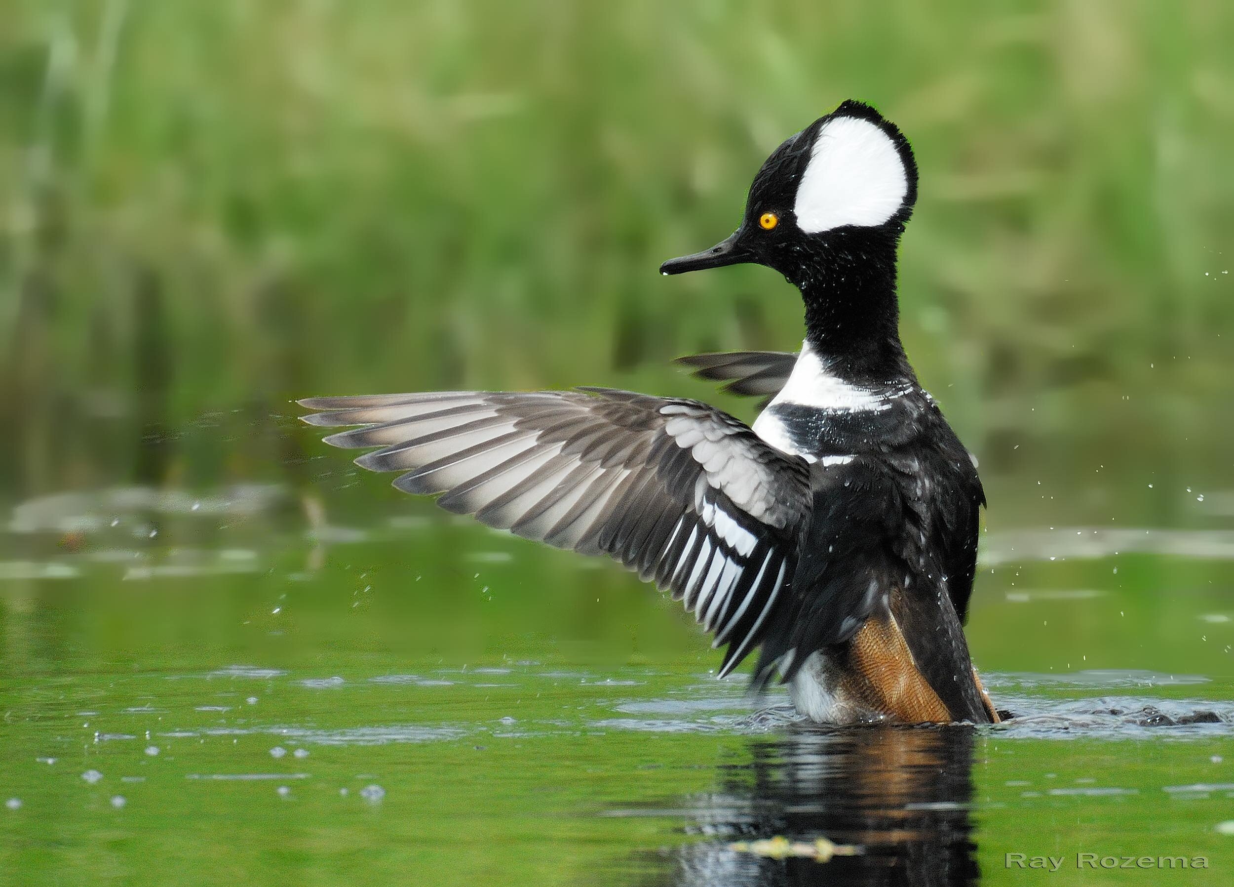
Hooded Merganser, Image by Ray Rozema
Experience has shown that walks along this Creek are good any time of the year including resident woodpeckers, nuthatches, bluebirds, towhees, wrens, Green Herons, Common Gallinules, plus possible Hooded Mergansers. Walking along the edge of the Creek in this varied habitat there is always a chance for early migrating birds and unusual finds.
Directions
From Sacramento on Hwy. 50 east, take Silva Valley Parkway, Exit #31, drive north on the Parkway to the light at the intersection with Serrano Parkway. Make a U-turn at the light and park immediately on your right.
Google Map
Yolo Bypass Wildlife Area (YBWA)
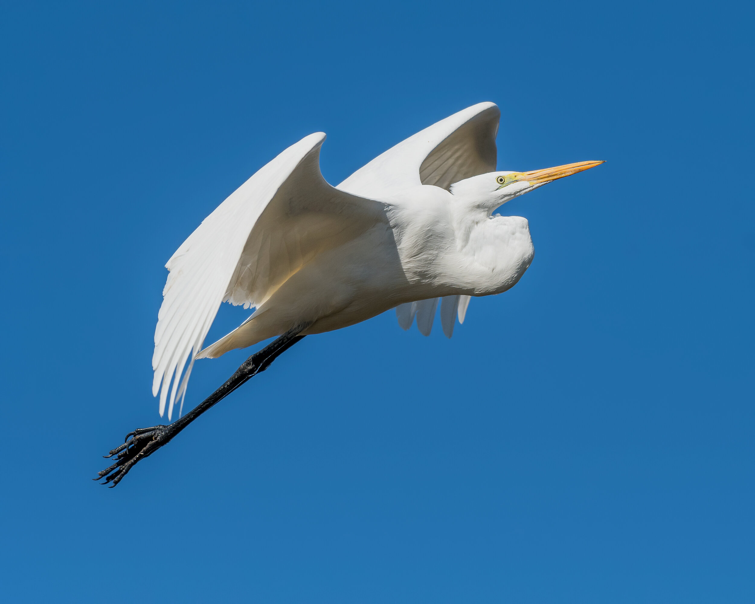
Great Egret, Image by Daniel Lee Brown
Someone asked recently why SAS so often suggests YBWA as a birding hotspot. One reason is because this can be a spectacular place to bird during fall and winter months. Other wildlife areas can say the same but are not as close to Sacramento. Summer is a somewhat different matter when the basin is mostly dry and dusty. However, flood-up of fields for shorebird migration begins in July by which time shorebird migration is well under way.
Directions
Address: 45211 Co Rd 32B, Davis, CA 95618
From Sacramento: on I-80 west, take the first exit at the west end of the Yolo Causeway, East Chiles/Rd. 32A, Exit #78. Turn right at the stop sign, go under the freeway, make a left up onto the levee; then drop down into the Wildlife Area.
Spenceville Wildlife Area

Lewis’s Woodpecker, Image by Ray Rozema
This scenic recreational area of rolling oak woodland, streams, reservoirs and ponds offers a variety of wildlife and is, I think, under-birded. Possible birds include Yellow-breasted Chat, Lewis’s Woodpecker, Rock Wrens, Rufous-crowned Sparrows and more. This is a large and complex area with many sites along the way and makes for a good, long day trip. You can click here to view the interactive map: Lincoln-Spenceville Wildlife Area.
More information on the Spenceville Wildlife Area is available from the California Department of Fish and Wildlife.
Directions
Address: 14936 Spenceville Rd, Penn Valley, CA 95946
In the northeastern part of Sacramento, from the intersection of Interstate 80 and Hwy 65, drive north on Hwy 65 for 33 miles to the town of Wheatland. Turn right on Main St and go east for 0.45 mi. The road bears slightly right and becomes Spenceville Rd. Continue northeasterly on this road for 5.1 miles to where Spenceville Road curves left (north) and Camp Far West Rd is on the right. Turn right. After 2.6 miles, there is a 3-way intersection, where the road bearing right is Blackford Rd. and leads to a bridge over Bear River. Turn LEFT to stay on Camp Far West Rd, and drive 2.0 miles northerly and then east to the intersection where Wichita (paved) Rd is to the left and Camp Far West Rd becomes a dirt/packed gravel road, that has some washboarding (2022). Drive 1.0 mile on the dirt Camp Far West Rd (which has several curves) bearing northeasterly, to a 3-way intersection, with a residential driveway to the right. Turn left to stay on Camp Far West Road and drive north 1.0 mile to where Camp Far West Road turns right. DON’T turn right, but go straight on Long Ravine Road and drive 1.65 mi northerly to a T intersection with Spenceville Road. Turn right on Spenceville Rd and drive easterly for 1.55 mi to Nichols Road, a side road right. Spenceville Wildlife Area is the property to the Southeast--ahead and to the right-- of this intersection. Driving easterly on Spenceville Rd for another 0.45 miles will bring you to a dirt parking lot on the left, also used for Beale Falls Trailhead. Portions of the directions were written from reviewing aerial imagery.
University of California, Davis Arboretum
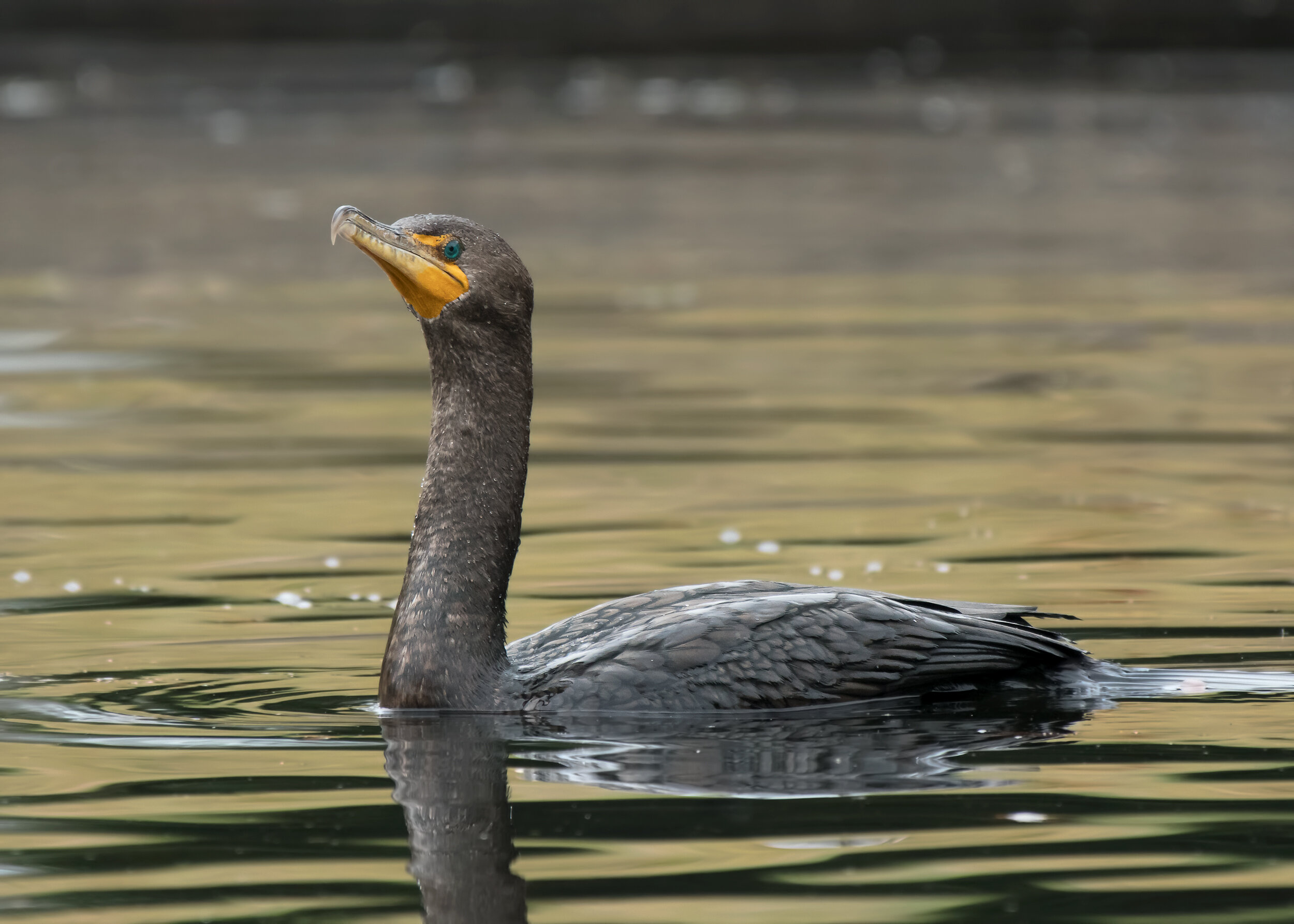
Double-crested Cormorant, Image by Daniel Lee Brown
Closer to home, if you would like a shady, pleasant walk in a lovely, varied landscape, the Arboretum is just the ticket. In addition to often well-marked gardens featuring plants from all over the world, this 3-mle loop is mostly level and shady and due to its proximity to the Putah Creek waterway, it feels cooler than the surrounding areas. Close-up looks at residents such as Wood Ducks, Double-crested Cormorants and Green Herons are rewarding, and in September, early migrants might be found.
Directions
Address: 1046 Garrod Dr, Davis, CA 95616
From Sacramento: on I-80 west, exit at Richards Boulevard/Downtown Davis, Exit #72, bear right, go under the overpass and at the light turn left onto 1st Street; then left onto D Street and into the large parking lot. There are many signs regarding where you can and cannot park, so choose your site carefully. Walk west to the trail into the Arboretum which can be accessed from both sides of the Creek.
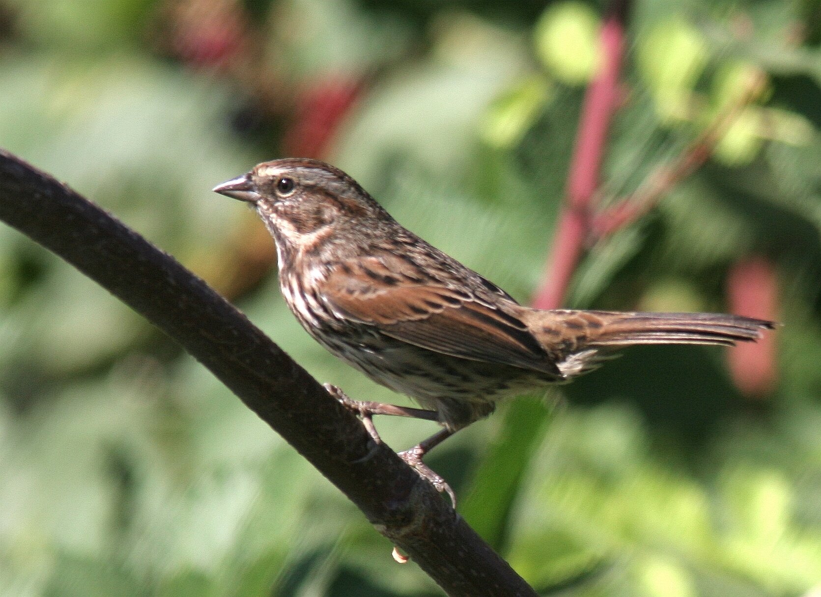
Song Sparrow, Image by Chris Conard
Stone Lakes, south of Sacramento, is well designed for families with small children as it offers a wide, level cement trail that loops through the Refuge for easy walking. The year-round water supports marsh birds such as Green Heron, Sora, Belted Kingfisher, Song Sparrow and Common Yellowthroat while in the surrounding ag and fallow fields Swainson’s Hawks, Red-tails, Mourning Doves and Western Meadowlarks can be found. Several small stands of Narrow-leafed Milkweed (Asclepius sp.) have attracted migrating Monarch Butterflies in September.
Directions
Address: 1624 Hood Franklin Rd, Elk Grove, CA 95757
From Sacramento: on I-5 south, two miles south of the Elk Grove exit, take Exit #504 heading west on Hood-Franklin Road and drive .8 of a mile to the NWR entrance on the left. There is a large parking lot and handicapped accessible restrooms. You can read more about the accessibility of this location here.
Laguna Creek Wetlands, Elk Grove
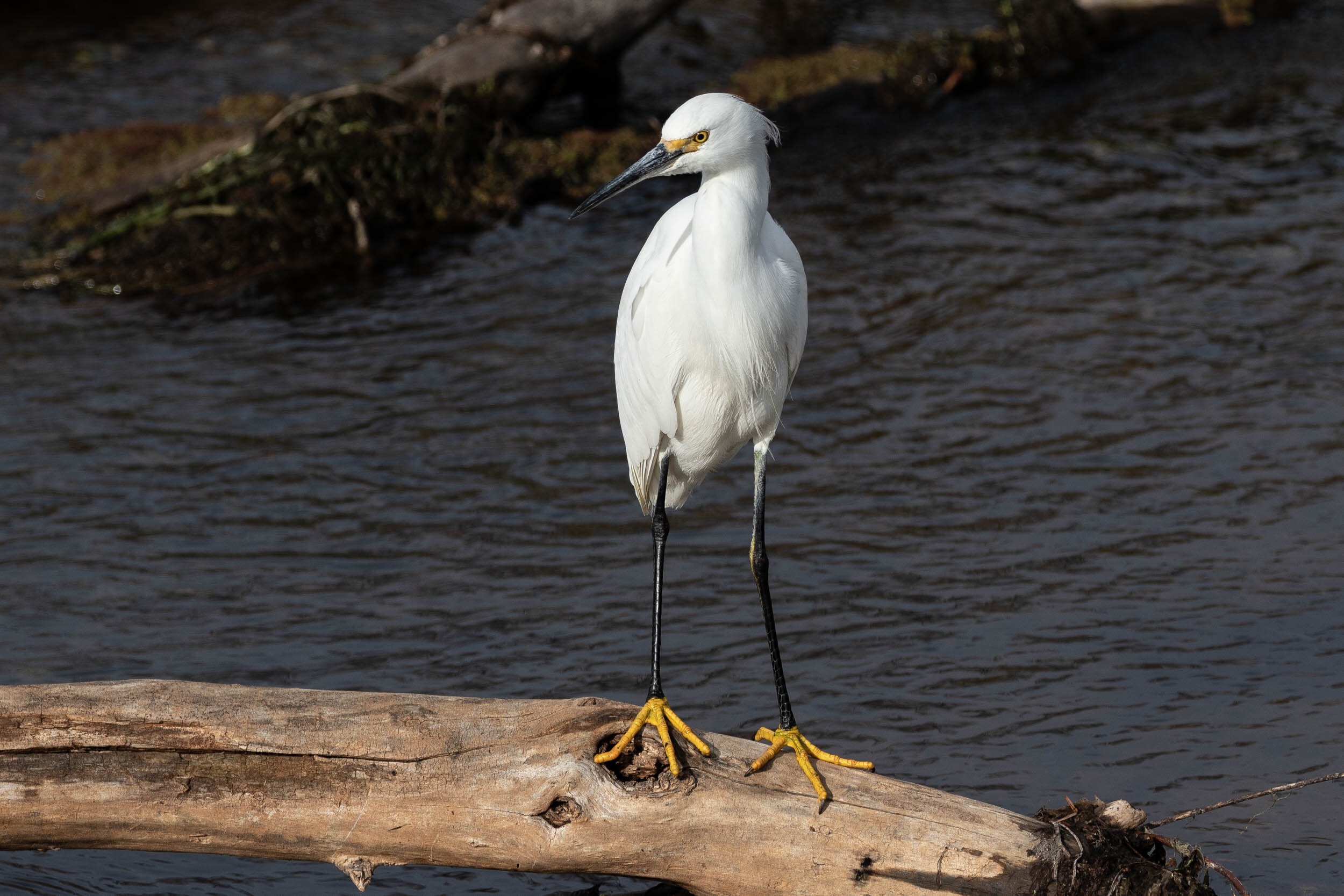
Snowy Egret, Image by Larry Hickey
This wetland sandwiched between housing on the north and south consists of a paved trail meandering along the Laguna Creek. Mostly sunny, the marshy wetlands are bordered by urban plantings including many oaks. Close looks at Common Gallinules, Cinnamon Teal, Snowy and Great Egrets and Double-crested Cormorants are possible and unexpected species always a possibility. This is a good walk for beginners and is stroller and small child accessible.
Directions
Address: 9380 Porto Rosa Dr, Elk Grove, CA 95624 (for Jack Hill Park and parking)
From Sacramento: On Hwy. 99 south, exit at Elk Grove Boulevard and head east; pass Elk Grove-Florin Road, and less than a mile later turn left onto Porto Rosa Drive. Follow to Jack Hill Park and the parking area. Restrooms are available in the parking lot.