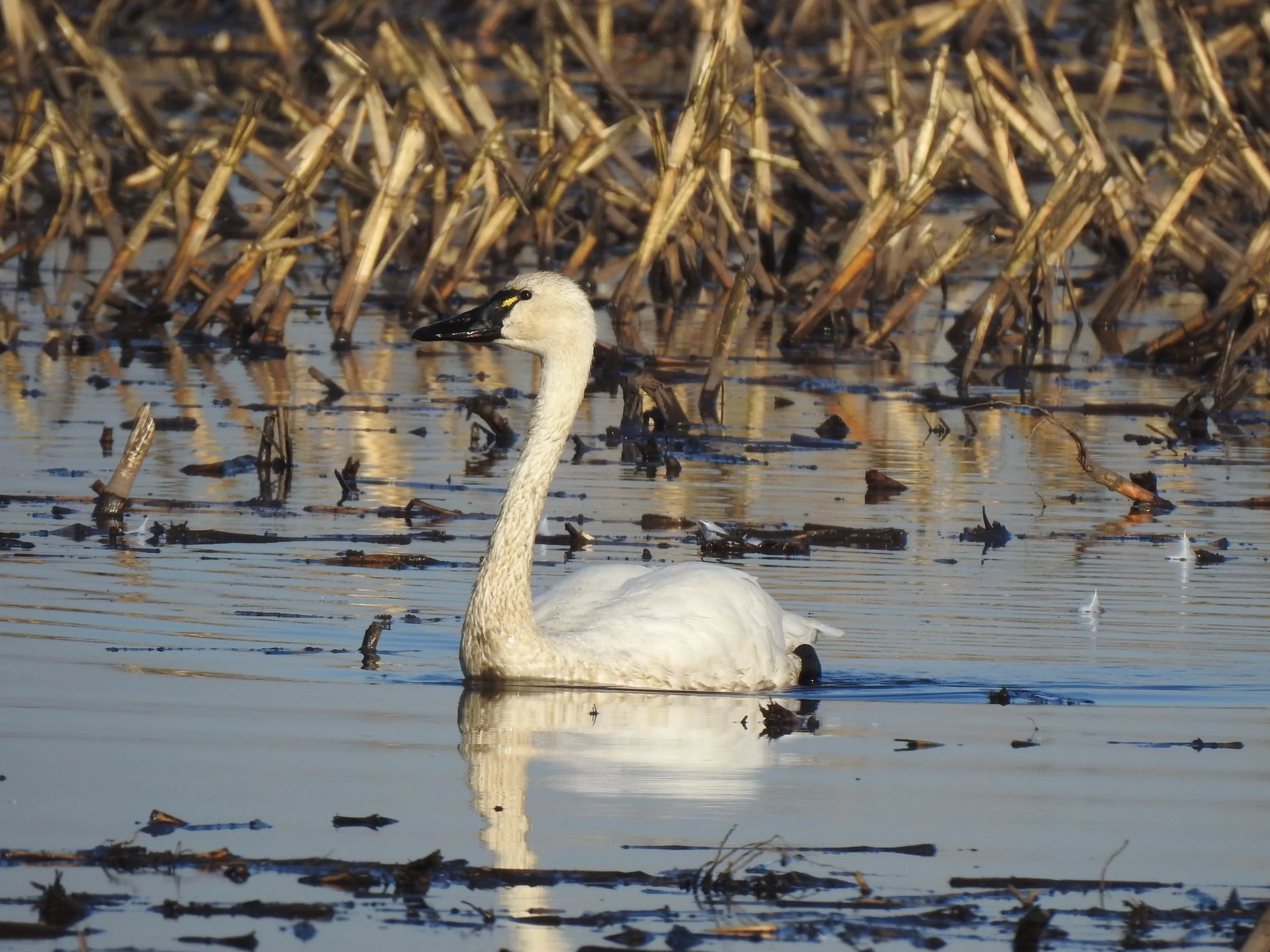
Tundra Swan, Image by Mary Forrestal
The grasslands and flooded farmlands in this area west of Lincoln provide some of the best winter birding in the northern Sacramento Valley. There are a multitude of country roads to explore to the west of Hwy 65, north of Sunset Blvd., east of Pleasant Grove Road, and south of Riosa Road near the small town of Sheridan. Wintering flocks of waterfowl, shorebirds, and birds of prey thrive here at this time of the year.
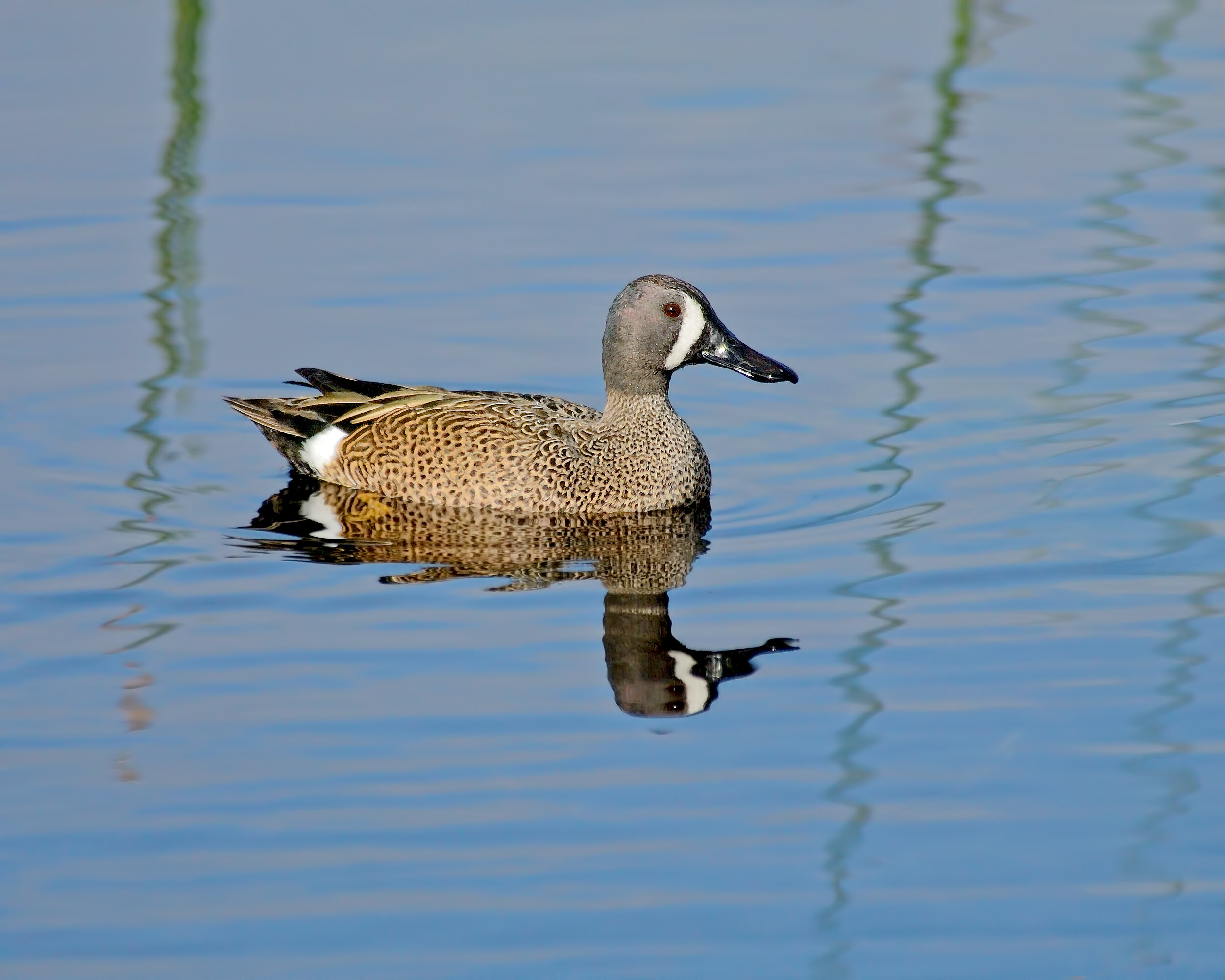
Blue-winged Teal, Image by Daniel Lee Brown
This is probably the most reliable and easiest place to see Blue-winged Teal in the Sacramento area. Gadwall, Cinnamon and Green-winged Teal, Black-necked Stilts and Avocets are often found. It's a good place to include with a trip to the Yolo Bypass area. Read more about the Yolo Bypass area in the November suggestions.
Directions
From downtown Sacramento, take Hwy. 50 west, cross over the Sacramento River and take the Jefferson Boulevard exit. Turn left onto Jefferson and turn right on Lake Washington Boulevard. Follow Lake Washington Boulevard and then turn left onto Southport Parkway. At 2.8 miles, turn right on Oakland Bay Drive, make an immediate right onto Bowen Island Street, left on Solomon Island Road and right on Pender Island Street. Park at the end of the cul-de-sac.
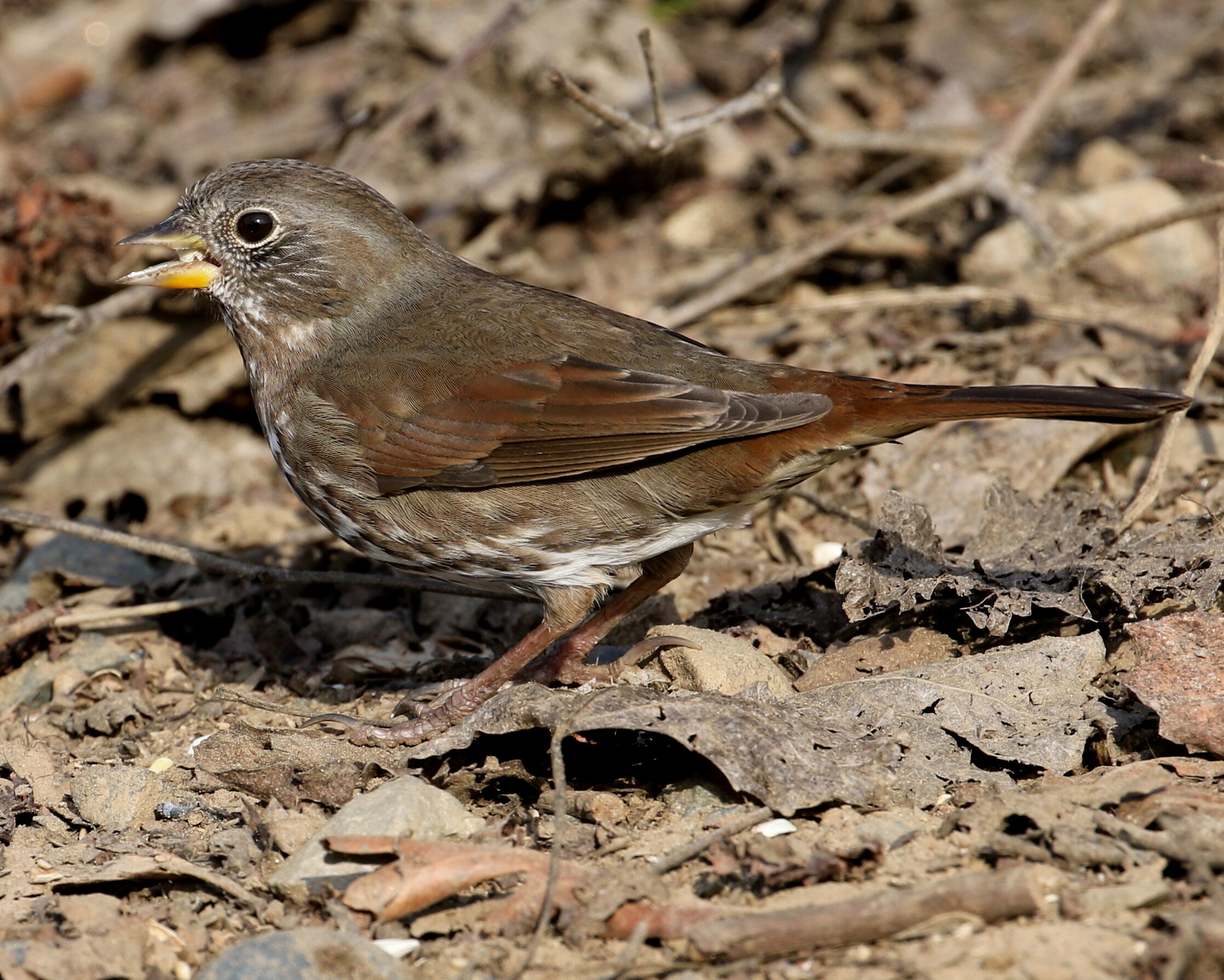
Fox Sparrow, Image by Chris Conard
This 430-acre National Audubon Sanctuary on the Feather River is managed by Sacramento Audubon. At this time of year you can find resident and wintering birds such as Hermit Thrush, Fox Sparrow, crowned sparrows, both towhees, and various raptors. If there has been rain, the trails may be wet and muddy. You can print a trail map for Bobelaine, or maps are usually available at the entrance to the Sanctuary.
Directions
From Sacramento take Hwy.99 north toward Yuba City and about 2 miles north of the Feather River Bridge turn right on Laurel Avenue. Follow Laurel to the dead end at the Bobelaine parking lot.
Address: 15 Laurel Ave, Yuba City, CA 95991
Recommendations provided by Richard Barbieri, Sacramento Audubon Field Trip Leader.