City of Sacramento
To use the map above, click on any point. You’ll find the name and a brief description with a link to additional information. Alternatively, you can click on the square with an arrow in the upper left hand corner of the map to open a complete list of all the locations on this map. The map is easier to use if you enlarge it by clicking on the partial square in the top right portion of the map.
Fees and directions may have changed. If you have recommended changes for a location, please email them to the Web Committee.
Where to Go Birding in the City of Sacramento
The Western Subspecies of Purple Martin is uncommon and declining, but the City of Sacramento is host to a few small breeding colonies that have adapted to nesting in “weep holes” under freeway overpasses.
If you have only a few hours to spare for birding on a winter weekend morning, you might want to visit East Lawn Cemetery on Folsom Boulevard in East Sacramento. Filled with winter residents, over the years, Townsend’s Warbler, Black-throated Gray Warbler, and Black-and-white Warbler have been found here in the winter.
Urban Birding Tour
A tour of urban Sacramento parks begins in William Land Park and continues south. From Interstate 5, exit at Sutterville Road. At the east side of the overpass, go right at the sign for Riverside Boulevard and north (right) to William Land Park. Continue the tour south to the other urban parks. Read about each park individual below or see the entire tour here.
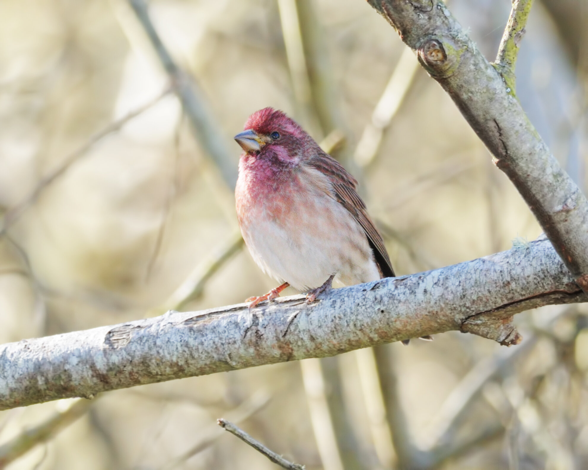
The large conifers and berry-laden shrubs and trees of William Land Park attract winter flocks of American Robin, Cedar Waxwing, Yellow-rumped Warbler, Dark-eyed Junco, and American Goldfinch. This is a good place to look for wintering Varied Thrush (under the redwoods), Red-breasted Nuthatch, Golden-crowned Kinglet, Townsend’s Warbler, Purple Finch and Pine Siskin.
Reichmuth Park, for its size, is one of the great magnets for migrating landbirds in the Sacramento area. Sixteen warbler species have been recorded here, including all of the West Coast species plus Black-and-white Warbler, Northern Parula, American Redstart, Hooded Warbler, and Canada Warbler.
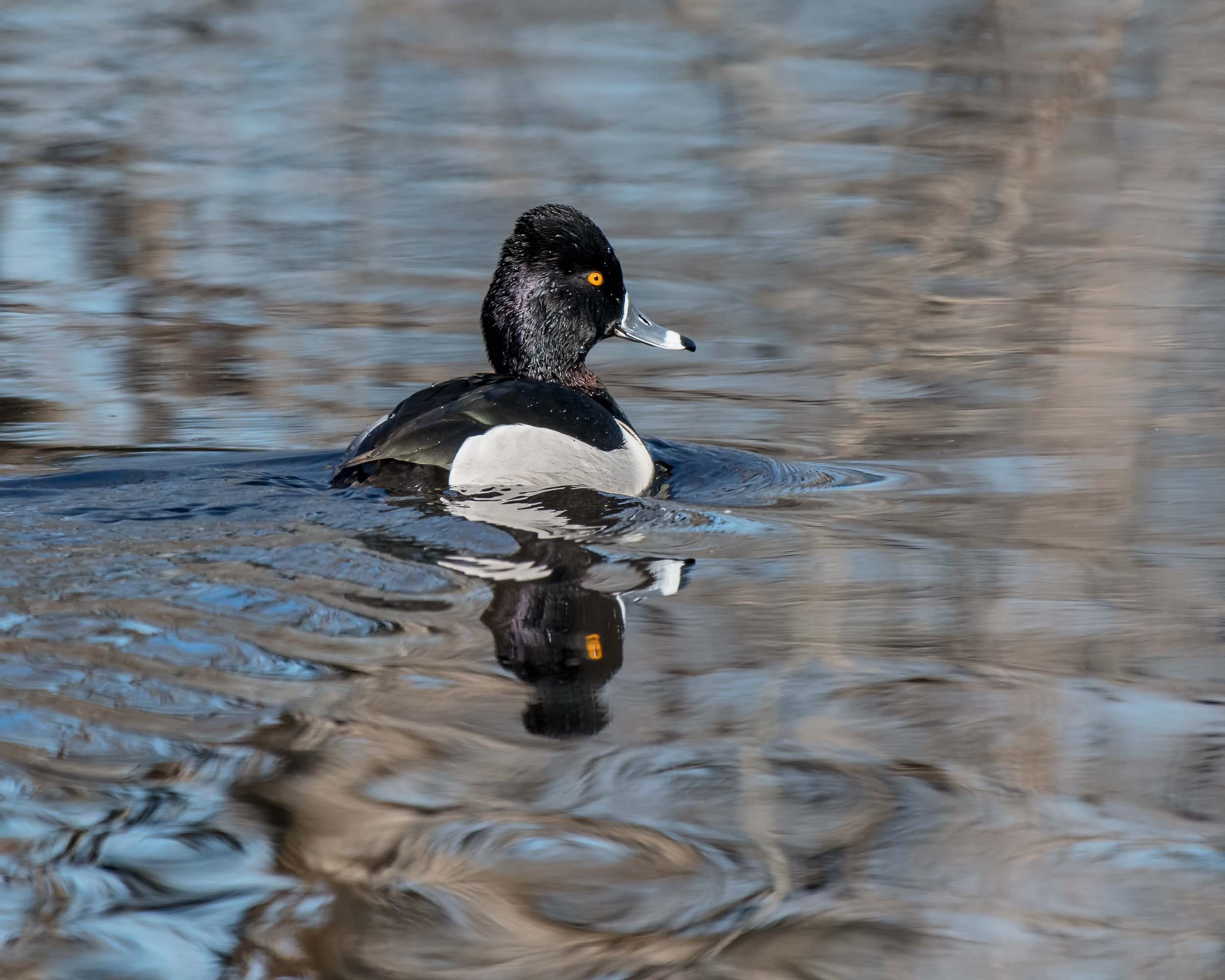
Public access to Greenhaven Lake has diminished to the point where it's no longer a great birding destination, but worth a check if you're in the area as in fall and winter, large flocks of Common Merganser, Ruddy Duck, gulls, Clark’s Grebe, Ring-necked Duck, Lesser Scaup, Canvasback, Bufflehead, Common Goldeneye and other water birds may be found.
Garcia Bend Park is worth a visit in spring and fall to look for migrating landbirds in the riparian growth and Caspian or Forster’s Terns over the river. Marriott Park has large valley oaks that attract migrating warblers, vireos, tanagers and others in spring.
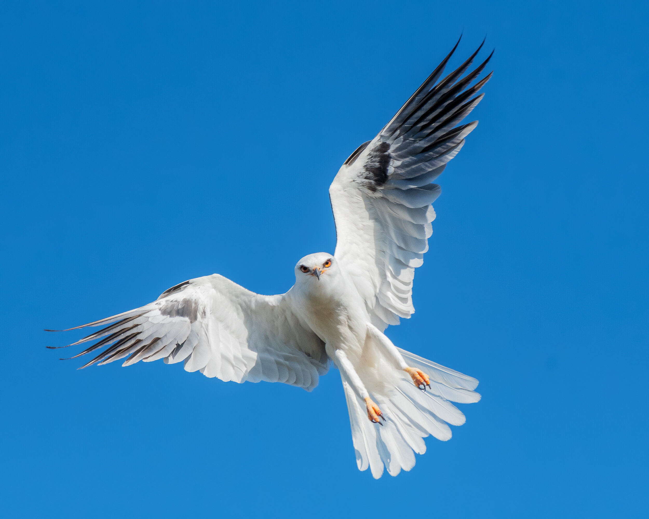
Chorley Park is a small city park that harbors migrating land birds and nesting White-tailed Kite in spring. This area consists of weeds, willows, and cottonwood trees.
Banner Photo Credit: Yellow-billed Magpie by Mary Forrestal
