When the Sacramento Regional Wastewater Treatment Plant was constructed in 1978, 2,650 acres were set aside to buffer the surrounding community from odors, noise, and industrial activities related to wastewater treatment. The Bufferlands is an island of open space between South Sacramento and Elk Grove, situated between Interstate 5 and Franklin Boulevard, and north of Laguna Boulevard, with an additional 160 acres west of Interstate 5 and adjacent to Stone Lakes National Wildlife Refuge. Since 1990, over 250 acres of riparian forest and associated woodlands have been planted with 31,000 trees and shrubs, 115 acres of grasslands have been seeded with native species, and over 300 acres of wetlands are managed for waterfowl and other waterbirds.
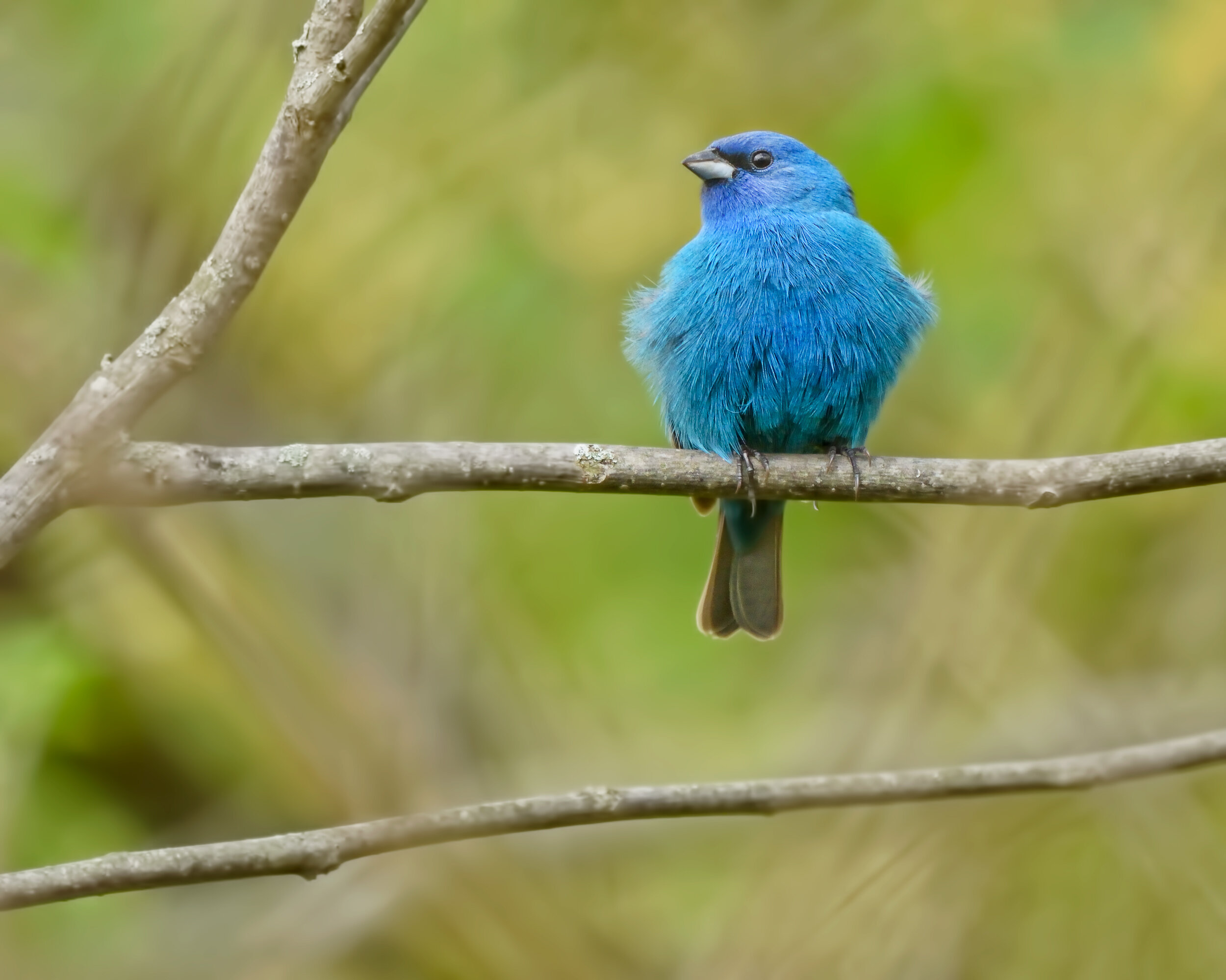
Indigo Bunting, Image by Daniel Lee Brown
The bird list currently stands at 244 species. Highlights include thousands of waterfowl, with Canvasback numbers that have topped 15,000. There are up to four Swainson’s Hawk nests each year and Blue Grosbeaks are a conspicuous nesting species. Over the years, rarities have included American Golden-Plover, Ruff, nesting Least Terns, Blackburnian Warbler, Canada Warbler, and Indigo Bunting. Currently there is no unguided public access, but information on the numerous public tours can be found on the Bufferlands Event Calendar. Bird-focused tours are also offered on occasion with the Sacramento Audubon Society, check out our Calendar of Events for upcoming tours. eBird Sightings

